
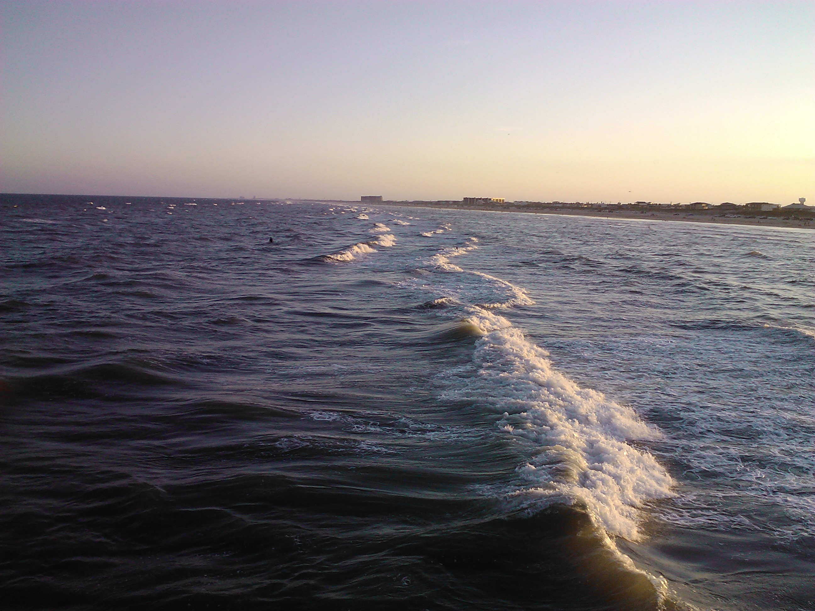
A quiet beach can be deceptive
The Gulf Coast in November offers a different atmosphere from a crowded summer holiday. Parking lots may be quieter, the light softer and the shoreline inviting for a long walk. But the appearance of a peaceful beach does not establish that the water is safe. Wind, surf, tides and currents vary independently of how crowded a beach feels. The National Weather Service specifically warns about rip-current and longshore-current hazards along the lower Texas coast. A person visiting Port Aransas, the Coastal Bend or South Padre Island should check local forecasts and warnings rather than judging conditions from a photograph or a glance at the sand. The beach can be enjoyable without treating a calm-looking surface as permission to swim.
Read the right forecast
An ordinary weather forecast helps with clothing, but it may not fully explain conditions in the surf zone. A dedicated beach forecast or current National Weather Service coastal statement can give more useful information about wave action and rip-current risk. Local flags and lifeguard advice are important when available. Conditions can also vary along the same stretch of coastline. A report from one community should not be treated as confirmation for a beach farther south. Before a drive, identify the specific access point and review the closest current alerts. Then look again when you arrive. Weather and water do not honor a schedule planned several days in advance.
What a rip current actually does
A rip current is a concentrated flow of water moving away from the beach. It can be dangerous because it carries swimmers offshore and can trigger exhaustion or panic. It is not the same as a wave pulling someone beneath the water. The National Weather Service advises against fighting the current directly toward shore. If caught, remain calm, float or tread water, call or wave for help and, when able, move parallel to shore to escape the flow before returning toward the beach. The safest decision is avoiding dangerous conditions in the first place. Even strong swimmers can struggle in unexpected currents, particularly when water temperature, fatigue or waves complicate the situation.
Longshore currents matter too
Along the lower Texas coast, currents flowing parallel to the beach can also create hazards. The National Weather Service Brownsville office highlights longshore currents as particularly relevant in seasons spanning late autumn through spring. A beach visitor may notice that the water gradually carries them down the shoreline without realizing how far they have moved from the original entry point. These currents can create problems near piers, rocks and other structures. Families should establish a visible reference point and avoid entering hazardous water when local warnings are in effect. A child standing in shallow surf may need supervision even if the water looks gentle. Nearshore conditions deserve attention at every age.
Structures change the risk
Jetties, piers and other shoreline structures can influence water movement. The National Weather Service identifies locations near lower-coast jetties as areas where rip-current hazards may be common. That does not mean every jetty is dangerous every hour, but it makes casual swimming near such structures a poor assumption. People fishing or walking near rocks should think about slippery footing and the possibility of waves reaching unexpectedly high. A safer way to enjoy a coastal outing is to remain in designated access areas and follow posted restrictions. Photographs taken close to crashing water may look dramatic but can put the photographer in a vulnerable position.
The water temperature is not the air temperature
A pleasant afternoon on the sand does not mean the Gulf will feel comfortable for swimming. Water temperature changes with season and local conditions, and a cold front can create a very different experience from the previous weekend. If you are considering water activity, check a current temperature report and your own physical limits. Heavier clothing and cooler conditions can complicate recovery if someone unexpectedly gets wet. For a simple shoreline walk, dress in layers and bring a wind-resistant option. Do not rely solely on the forecast high at a nearby inland city. The open shoreline can feel substantially different once wind and moisture are considered.
Swimming is only one way to enjoy November
There is plenty to enjoy along the Texas coast without entering the surf. Birdwatching, photography, beachcombing where permitted and unhurried walks can make for a memorable outing. Visitors should be mindful of sensitive habitats, wildlife and any local rules about collecting shells or approaching animals. An early start may offer a quieter experience and more time before sunset. The point is not to avoid the coast but to choose activities that fit its conditions. A windy day that makes swimming unattractive may still be rewarding for watching birds from a safe location or enjoying the shifting color of the water and sky.
Families need a shared boundary
When children see an empty beach, they may interpret it as a place to run freely toward the water. Adults need a clear plan for supervision and safe play. Agree on where children may go before they start exploring, and do not let a photograph session distract from water safety. If lifeguards are not present, that should affect the decision to enter the surf rather than encourage greater independence. Explain flags and warning signs in terms children understand. The safest habit is to keep young children within immediate reach near the water and never assume that shallow depth eliminates current or wave risk. Beach safety works better when everyone knows the boundary.
Access and driving rules are local
Texas coastal destinations differ in vehicle access, parking rules, beach permits and services. Do not assume that procedures familiar from Galveston are identical in Port Aransas or South Padre Island. Check the relevant local authority for current access and any closures. Tides, high surf and sand conditions may affect practical driving even when public access is technically open. Parking where it is not permitted can harm sensitive areas and block emergency routes. If a beach access point is closed, find an official alternative rather than driving around barriers. A few minutes of preparation protects both the shoreline and the rest of the day’s experience.
Photography should not mislead
Coastal articles often use beautiful photographs taken months or years earlier. There is nothing inherently wrong with archival imagery when it is clearly identified. The problem begins when a picture suggests today’s calm water, beach width or crowds and readers mistake it for a live view. Thunderfoot’s beach conditions feed and official forecast sources are better for changing conditions. Feature photography can convey atmosphere, but captions should identify an image as illustrative when it does not document the specific day. This is particularly important for rip-current reporting. A still photograph, even one taken recently, cannot replace a current hazard assessment. Editorial honesty is part of practical visitor safety.
From the Coastal Bend to the Lower Coast
Port Aransas and South Padre Island share a Gulf setting, but their shorelines, access patterns and local services are not identical. When comparing them, avoid reducing the choice to which looks prettier in a promotional image. Consider where you will stay, whether the group wants a long walk or a water activity and what conditions are forecast for the specific beach. Local events and restaurants may make the overall outing enjoyable, but they should be checked independently rather than inferred from a generic travel article. A November coastal trip can be flexible and satisfying when the beach itself is treated as a changing environment, not a fixed attraction.
The decision before you go
Start with the current National Weather Service guidance, the closest beach forecast and local signs or flags. If risk is elevated, choose a safe shore-based activity rather than taking a chance in the water. For families, agree on supervision and meeting points. Bring clothing suitable for wind and changing temperatures, then confirm access rules for the specific destination. Thunderfoot’s Texas Beach Conditions tool can assist with regional discovery, but official warnings and on-site guidance should determine safety decisions. A good November beach day is one where people enjoy the coast for what it offers now rather than expecting the conditions of a summer postcard.
Official resource: Visit the official information page. Conditions, availability and regulations can change.
Explore related Thunderfoot tools: Texas Beach Conditions and Outdoor Adventures.
Photo: Archival Port Aransas Texas shoreline photograph by Articseahorse, CC BY-SA 3.0 via https://commons.wikimedia.org/wiki/File:The_Coast_in_Port_Aransas.jpg
