
The best river ride isn’t always the longest one
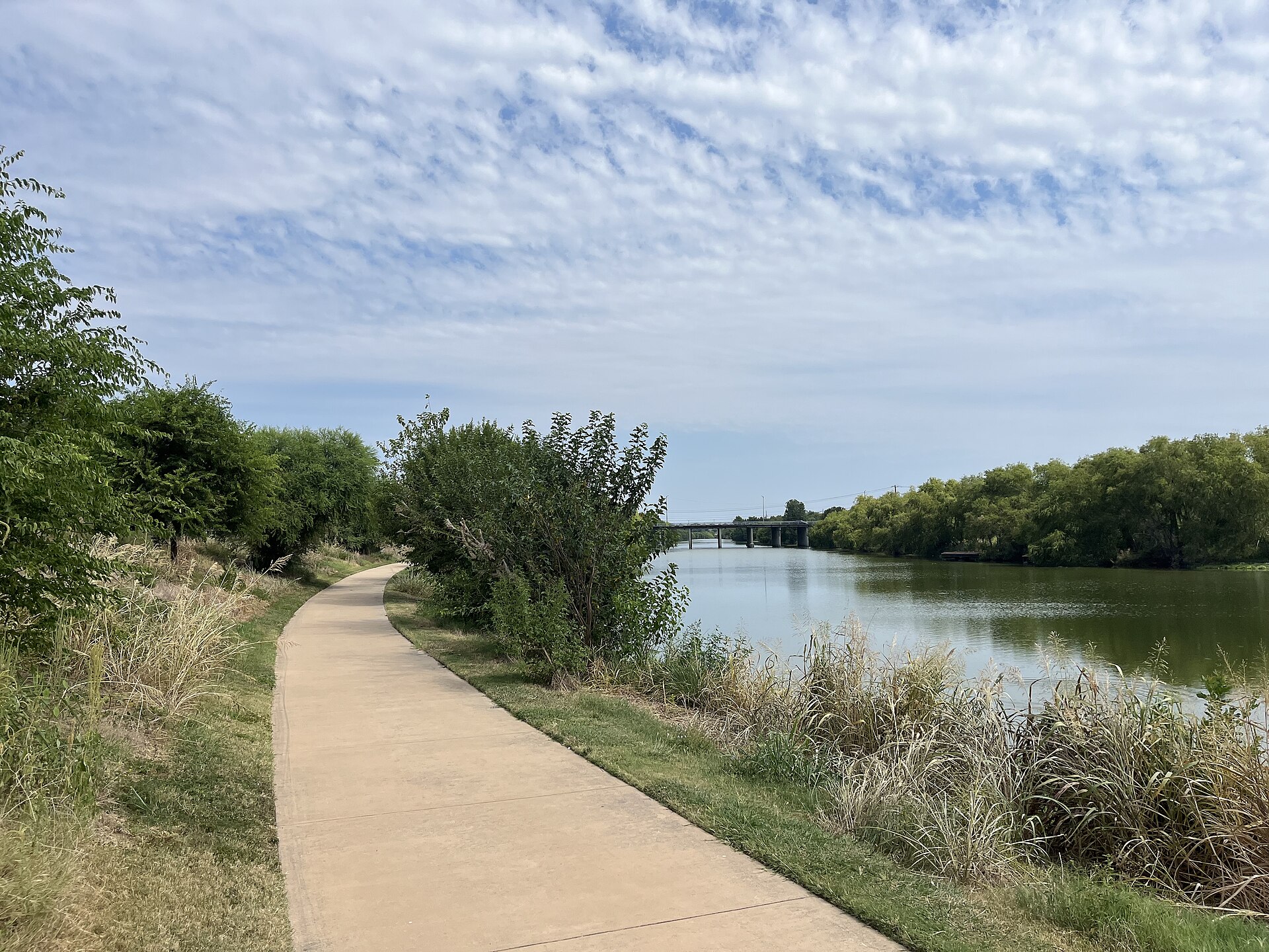
The Mission Reach of the San Antonio River Walk is not the crowded downtown promenade many visitors picture when they hear the words River Walk. South of downtown, the river passes through restored habitat, art installations, public parks and paths that connect toward San Antonio’s historic missions. It is a place to ride a bicycle without treating every mile as a race, or to take a walking route where the scenery changes between a riverbank and a historic gateway. In November, when daylight is shorter and the weather can turn quickly, the best plan starts with a route that fits your actual time and the conditions along the water.
The San Antonio River Authority describes the Mission Reach as an eight-mile linear park with more than sixteen miles of shared pedestrian and bicycle trail. The river corridor has undergone major habitat restoration, and the trails connect to Mission Portals that lead toward UNESCO-recognized mission sites. Those are compelling reasons to visit. But on November 13, 2026, there is also a practical warning that belongs near the top of any current guide: portions of the trail system are under active closure or maintenance notices.
The closure you should know before rolling out
The River Authority’s recreation and alerts page includes a November 9 notice saying Camino Coahuilteca is closed because high water covers the bridge, with the closure in effect until further notice. A separate October 12 advisory identifies temporary work near Mission San Juan, Mission Espada and Concepción Park. Those notices matter because a map that shows a continuous route cannot tell you that a crossing is unusable today. Never enter a flooded or closed crossing merely because it appears on your saved GPS route.
Before leaving, open the newest River Authority alerts and compare them with your planned starting point. Choose a section that remains accessible, respect posted detours and be willing to turn around. Do not guess that maintenance has finished because a warning was issued several weeks ago. A safe bike ride on half the intended route beats a risky attempt to complete an eight-mile itinerary at all costs.
Start with a shorter section and make it feel complete
For a first visit, a short out-and-back route is often the easiest choice. Pick a legal trail access point, decide on a turnaround landmark and keep your start and end on the same side of any closure. The trail’s shared-use design means you will encounter walkers, runners, families with strollers and other cyclists. Ride at a pace that allows time to pass safely and to appreciate the landscape. It is not a venue for trying to hold a high average speed through every crowded section.
If you would rather walk, a small stretch around a Mission Portal can be satisfying without the pressure of covering the entire corridor. You can take time to read an interpretive sign, look at a restored landscape and stop for a photograph. A good outing is one that gives you a genuine sense of the river, not one that makes the most impressive route line on an activity app.
The River Authority has clear rules for sharing the path
Its safety guidance says cyclists should wear helmets, pass on the left, warn others before overtaking and slow down where sight lines are poor. Pedestrians are asked to keep right and maintain control of pets on short leashes. Those are ordinary courtesies, but they become especially important on a popular multiuse path where faster riders share limited space with people simply enjoying a Saturday morning.
The bell or friendly call before passing should be a warning, not a demand that somebody jump out of your way. Give people time to react and pass only where there is room. If a group of walkers is occupying a narrow section, wait. Nobody’s recreation should become dangerous because another visitor wants to maintain a training pace. The trail was built to connect people with the river, not to reward the person who takes the biggest risks.
The missions are more than distance markers
Mission Concepción, Mission San José, Mission San Juan and Mission Espada are connected through the wider mission corridor. They are historic places with living cultural and religious significance, not simply photo stops on a fitness route. The Mission Portals provide access and interpretation, but visitors should check each mission’s current visiting arrangements and respect services or restricted areas. A ride becomes more meaningful when it includes an understanding of the landscape and communities through which the paths travel.
If you visit one mission, leave enough time to do more than snap a quick picture of the façade. Read the signs, consider the architecture and the history, and pay attention to how the river connects today’s urban setting with older routes of settlement, work and travel. You do not need to cover all four missions in one afternoon to appreciate the story.
The restoration makes the ride feel different
The River Authority describes hundreds of acres of restored ecosystem along the Mission Reach, including native grasses and wildflowers that support wildlife. That is why parts of the corridor feel more like a natural riparian landscape than an urban walkway. It can be easy to assume every patch of grass has been left unattended, but habitat restoration often looks intentionally less manicured than a suburban lawn. The vegetation serves ecological purposes beyond making a pretty photograph.
Pay attention to birds, insects and the changing textures along the water. Observe wildlife from a respectful distance and keep to the designated trail. Avoid cutting through planted areas or stepping onto a riverbank simply because it offers a better photograph. A place that has been deliberately restored works best when visitors treat it as a living ecosystem rather than a shortcut between points of interest.
A bicycle needs a little more preparation than a phone map
Check tire pressure, brakes and the security of your helmet before leaving home. Carry water, a charged phone and a small repair kit appropriate to your bike. The River Authority lists do-it-yourself bicycle repair stations among the corridor amenities, but do not assume one will be available at exactly the point you need it. If you are riding with children, choose a distance that matches their experience rather than treating the full corridor as the default goal.
Agree on a turnaround time before setting off. If the ride is going well, you can always choose another section on a different day. November brings shorter daylight, and even a pleasant afternoon can become uncomfortable if someone is trying to find a trail entrance after dark. Check the official opening hours and do not build the return plan around using a closed crossing.
Walking and paddling are different adventures
The Mission Reach also has an eight-mile paddling trail described by Texas Parks and Wildlife, with multiple authorized access points and paddling chutes. That does not mean a planned bicycle ride can simply be converted into a kayak outing if the trail is blocked. Water conditions and runoff can change quickly, and the authority advises checking flow and water quality before paddling. A recent high-water bridge closure should be a reason to exercise additional caution, not a reason to go see the current from a boat.
If paddling is your primary activity, use the separate official river recreation guidance and current water notices. Wear appropriate flotation equipment, use designated access and avoid going alone. The choice to paddle requires skills and decisions that differ substantially from those involved in cycling a paved shared-use trail.
A good November day does not need a perfect weather forecast
The weather can change during the day. Bring a light layer, sun protection and water, then choose a start time that leaves room for changing conditions. If rain has fallen recently, check for fresh flood or trail notices. Do not assume that a bridge looks safe because the surface appears dry from a distance. Follow barriers and posted instructions. A public trail can reopen after authorities have assessed it, not when a visitor decides the current looks manageable.
For families, identify restrooms and a meeting place near the start. Stop before anyone gets tired enough that the return becomes miserable. If you are introducing a friend to bicycling, a comfortable fifteen- or thirty-minute ride can be more encouraging than an ambitious excursion that feels like a test. Let the outing create interest in returning.
Make the river the destination
There is no prize for reaching every Mission Portal in one day. A slower ride gives you the chance to see the river in a way that downtown visitors often do not: as a restored corridor used by neighbors, wildlife, cyclists and history enthusiasts. The strongest plan on November 13 begins with the official closure notices, respects the route actually available and leaves time to enjoy the place.
Thunderfoot’s San Antonio Metro coverage and Texas Event Finder offer more ideas for the region. For the Mission Reach itself, the River Authority’s live alerts and maps are the trusted source. Check them first, then let the route be shorter, quieter or different than you expected. It may turn out to be the better ride.