
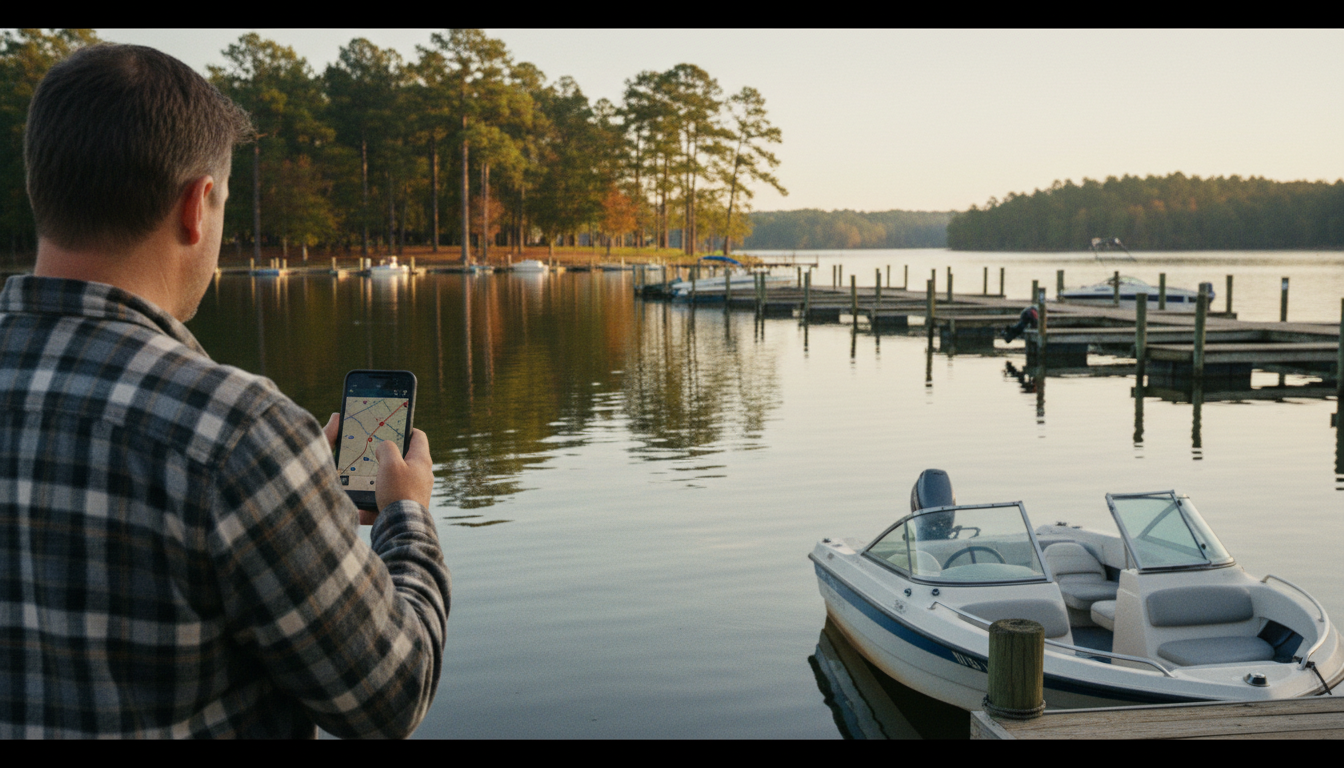
A lake weekend can fall apart before the engine ever starts. Somebody picks a ramp because it is closest to the house. Somebody else assumes there will be gas near lunch. The group chooses a restaurant without checking boat access. By noon, a pleasant cruise has become three separate errands on the water.
Lake Conroe rewards a little advance planning. Its waterfront businesses, launch choices, narrow upper reaches and busy recreation areas are not interchangeable. That is why the Thunderfoot Sports interactive Lake Conroe map deserves a place in the planning routine, alongside the weather forecast and a look at current lake conditions. It collects practical stops and broad hazard advisories in a single searchable view. Think of it as a way to ask better questions before you tow the trailer, not as a navigation system that can answer every question.
The useful question is not “Where is Lake Conroe?”
Most people already know how to find the lake. What they need to figure out is which part of it makes sense for their particular day. A family with a tube and young passengers has different priorities from an angler headed toward the wooded upper water. Someone launching just for lunch may care more about fuel, docking and the return trip than about finding the quietest cove.
Start with your main activity and work backward. If you want a relaxed cruise and a restaurant stop, identify the destination first, then compare launch points. If you intend to fish upper-lake structure, think about the distance from a suitable access point and whether your route reaches timbered or shallow areas. If you are learning to handle a new boat, a simple launch and short, familiar route beat a complicated itinerary every time.
The map’s layers are a menu of decisions
Open the tool and you can explore marinas, boat launches, on-water fuel docks, boat storage, restaurant and resort stops, rental operators, hangout areas, emergency-service references and safety advisories. A searchable listing lets you narrow down a category without bouncing between tabs. You can select a marker for its available details and directions to a point.
That variety matters because a pin can solve one problem while creating another. A restaurant listing may be useful for planning lunch, but it does not guarantee transient docking today. A fuel pin tells you where to ask, not whether the pump is operating, what grade is stocked or whether the dock is accessible at the current water level. A rental listing is an option to investigate, not a promise of immediate inventory. The smarter habit is to use each map result as the beginning of a quick confirmation call.
First choose the ramp, then choose the road
The simplest mistake is measuring the drive to Lake Conroe and forgetting the trip after launch. A convenient highway approach does not necessarily put you close to your destination on the water. For a busy Saturday, compare parking, ramp configuration, courtesy docks and whether your vehicle and trailer will fit the facility.
The Texas Parks and Wildlife Department’s Lake Conroe access page describes public and commercial access options including Cagle Recreation Area, Scott’s Ridge, FM 830 and Stow-A-Way Marina. It identifies facility features and provides a useful starting point for checking access. Fees, maintenance closures and operator policies still deserve a current check.
Cagle or Scott’s Ridge may attract people who want access toward the forested stretches; FM 830 is another named ramp worth researching for a different approach to the lake. Those are planning examples, not a declaration that one ramp is always best. Our Lake Conroe boat ramp guide goes deeper into the questions that matter when you arrive with a trailer.
A fuel stop is not a backup plan until you confirm it
Boats can burn fuel very differently at an easy cruise, under load with watersports gear, or when repeatedly accelerating and idling. Give yourself a comfortable reserve rather than planning to arrive at the last dock on fumes. On the map, fuel operators are easy to find. The next step is to check whether the dock is actually serving boaters, its operating hours and whether the fuel offered matches your engine requirements.
If the plan includes a long trip or unfamiliar areas, write down a second option and reconsider the itinerary if you cannot confirm service. A stop on the map is not the same thing as guaranteed supply. That distinction sounds dull until your only fuel plan closes before you get there.
The north end is not the south end
The lake changes character as you travel north toward the upper river reaches. The Thunderfoot map identifies generalized areas of timber, stumps and shallow-water caution, including named stretches around the upper channels. These markers are an invitation to slow down and prepare, not surveyed hazard boundaries.
The tool explicitly warns that conditions can change with lake level, vegetation, floating debris and marker maintenance. The area north of FM 1097 deserves special respect for timber and stump exposure. Stay in known routes, obey posted markers, keep an appropriate speed and use current, suitable navigational resources and direct observation. A phone screen cannot tell you whether a newly submerged stump is inches beneath a passing hull.
What the GPS feature does—and does not do
With location permission, the map can show your approximate position, distance to points and proximity notifications for some marked advisory areas while the page remains active. That helps with orientation. It is not a substitute for a marine chart, sounder, trained lookout or the operator’s responsibility to navigate.
The tool’s “Boat here” direction is a straight-line bearing, not a recommended water route. Drawing a line between your boat and a restaurant does not make every piece of water on that line safely passable. GPS on a mobile phone can drift, especially where reception is poor. Proximity warnings do not cover every obstruction. Don’t read a green-looking space on a digital map as a promise of safe depth.
Water conditions can rewrite the whole afternoon
Before leaving, check the San Jacinto River Authority’s Lake Conroe information and the National Weather Service. Reservoir levels, wind, thunderstorms and official advisories have more authority than a pleasant-looking screenshot from yesterday.
The Thunderfoot map includes a live-conditions area, but data feeds can be unavailable. An empty or stale reading should never be interpreted as “all clear.” If the forecast threatens lightning, postpone or return to a safe landing promptly. Conditions on open water can feel very different from conditions in a protected driveway where you packed the cooler.
Make the restaurant part of the destination
One reason Lake Conroe is appealing is that a trip does not have to be built around a single sport. You can launch, cruise, stop for a meal and head back without treating the restaurant like an afterthought. The map lists waterfront restaurants and resorts so you can explore that possibility geographically.
Do the unglamorous homework: ask about temporary docking, depth near the approach, dock assistance if needed, food service hours and whether a reservation is sensible for your group. Not every restaurant that overlooks a lake is equally convenient by boat. Consult our boat-up restaurants guide for the broader planning picture, then check the business directly before departure.
A nice version of this day keeps the route short, gives passengers time to enjoy the water and leaves enough daylight for a calm trip back. A stressful version tries to squeeze three far-apart destinations into the afternoon and relies on each stop being open on demand. Pick the first version.
Three Lake Conroe itineraries worth considering
For a family watersports outing, select a suitable launch near a familiar recreation area, allow time for setup away from the ramp and keep the tow zone away from congested docks. Recheck the weather before each new activity, not only when the boat leaves the trailer.
For a boat-and-lunch trip, build the route around one confirmed dock-accessible restaurant and a fuel contingency. Decide where you will launch based on the return ride as much as the outbound leg. That makes lunch the fun part rather than a logistical surprise.
For a quieter exploration day, investigate access toward the northern reaches but keep the plan conservative. Timbered coves can interest anglers and curious explorers, yet shallow water and hidden obstructions make them poor places for improvising at speed. When in doubt, choose known water.
Think about the passengers, not just the driver
Different passengers experience a lake day differently. Kids may need more frequent breaks, shade and a secure place to sit. Someone who gets motion sick might prefer a shorter route. A visitor who has never boarded a boat may need a clear explanation of where to step and what to hold during docking. A good map helps with the itinerary, but a good operator plans for the people.
Make room for water, sun protection, appropriate life jackets, a communication method, and a way to contact shore. Texas Parks and Wildlife publishes required boating safety equipment by vessel type; review the requirements for the boat you’re using. Tell someone ashore where you plan to go and when you expect to return.
An emergency pin is not an emergency response
The map includes emergency-service reference locations. Those points are for awareness, not destinations to steer toward in an emergency. If someone needs emergency assistance, call 911, communicate your coordinates and location as accurately as possible, use marine radio channels as appropriate, and follow responder instructions. Do not assume a nearby facility pin means help is dispatched automatically.
Similarly, don’t treat the ability to share a location as a guarantee of phone reception. Bring practical backup communication and know the safest place to seek help. The goal is not to be anxious on the lake. It is to avoid depending on a single fragile piece of technology.
The five-minute plan before you leave home
Open the Lake Conroe interactive map. Choose one main destination. Compare two viable launch options. Identify fuel if needed, and confirm the business details that matter. Look at advisory areas along the intended trip, but use official navigational resources and on-water markers for navigation. Check the current lake level and forecast. Finally, share the outing plan with someone who is not going on the boat.
That short routine changes the shape of a weekend. Instead of leaving the hard decisions for the ramp or the middle of the lake, you make them while everyone still has phone service, time and the option to change course. The best Lake Conroe day isn’t necessarily the longest cruise or the most ambitious schedule. It is the one where the group spends more time enjoying the lake than solving avoidable problems.