
A lake name looks like a destination until the navigation app asks which entrance you mean. A reservoir can have several parks, units and roads, with very different distances between them. The place where you can launch a boat may be nowhere near the walk someone else pictured. A useful North Texas lake plan begins by naming the shore.
Ray Roberts Lake, Eisenhower and Lake Mineral Wells state parks provide three ways to think about that decision. One asks you to understand a park with multiple units, another offers a Lake Texoma shoreline setting and the third combines a lake with a larger trail-and-landscape story. Treat them as alternatives, chosen for what the group wants to do.
Use the North Texas hub and our trail tool for discovery, then use the official park map for the actual approach. The park pages display active-alert notices as checked November 8. Read those notices before leaving and confirm the specific area you intend to visit. This comparison does not guarantee that every described facility is operating today.
| Park choice | Resolve before leaving |
|---|---|
| Ray Roberts | Exact unit and meeting location |
| Eisenhower | Suitable route on the Lake Texoma shore |
| Lake Mineral Wells | Whether the visit centers on lake, trail or a separately prepared activity |
Ray Roberts: put the unit in the meeting message
The Ray Roberts Lake State Park page describes a park spread among several units. That makes a full meeting location essential. Sending only the lake name can leave two cars following different reasonable routes to places far apart.
Choose the activity, then identify the unit and access point associated with it. A picnic, a walk and a paddling outing each need their own practical details. Save the current map and read any unit-specific notice. A park-wide overview can introduce the possibilities without resolving which entrance fits today’s plan.
For a group with mixed interests, select a modest shared activity first. A walk and a place to sit can give the afternoon a complete purpose while leaving optional activities optional. Someone should not discover at the entrance that the rest of the group expected a longer trail or a water outing requiring equipment they did not bring.
Let the lake view have some time. Find an appropriate stopping place and notice how wind, light and boat traffic alter what you see. Those observations can make the visit interesting without requiring a long route. They also help distinguish one shore experience from another when you plan a return.
Eisenhower: the Lake Texoma edge is the attraction
Eisenhower State Park describes rocky Lake Texoma shores, bluffs and trails. That setting can appeal to a visitor who wants more than a flat walk beside open water. It also makes the actual route and footing important parts of the choice.
Read the map and trail information before selecting a distance. A short route across uneven ground may demand more attention than a longer familiar path. Ask the park about the specific surface and access if anyone in the group needs an accommodation. A general photograph of the lake cannot answer that question.
Use the shoreline as a way to understand the setting. Look at the shapes of the rock and the transitions between wooded areas and open views from permitted locations. Leave natural objects where they belong and follow park guidance. A photograph or a note can record the visit without removing a piece of it.
If fishing is the main purpose, consult current rules and the actual location you intend to use. A land-based walk and a fishing outing have different preparation needs. Check equipment, access and any relevant operating information separately. The lake’s reputation does not replace a plan for the people holding the rods.
Lake Mineral Wells: decide whether today belongs to the lake or trail
The Lake Mineral Wells State Park and Trailway page brings together a lake, trails and a rock-climbing area. That variety is useful when chosen deliberately. It becomes confusing when every advertised activity is treated as part of one casual afternoon.
Decide whether the visit is mainly lakeside, trail-focused or centered on another activity for which the group is properly prepared. Use the relevant current map and instructions. The trailway and the park’s other routes should not be treated as interchangeable simply because the same park name appears above them.
A lakeside visit can be complete with a modest walk, a picnic and time to observe. A trail outing may call for a different start, distance and return plan. Climbing requires its own appropriate knowledge, equipment and current access checks. There is no need to add a more demanding activity to prove you used the park fully.
For a return visit, choose the part you intentionally left aside. Familiarity can help you plan better, but check current notices again. A route that worked on a previous date is useful experience, not a permanent assurance that weather, maintenance and access remain the same.
Ask what the group wants the afternoon to feel like
A family hoping for an easy conversation needs a different plan from friends hoping for continuous movement. Start there. Then choose the park, route and time that support the purpose. A longer drive can be worthwhile for a particular setting, but it can also consume the part of the day everyone wanted to spend outside.
Build a realistic arrival and return around the actual access point. Include time for entry, finding the route and the ordinary tasks that accompany a group outing. Pick a place to meet that has a clear name and location. If someone arrives later, they should not have to guess which lakeside parking area everyone meant.
Bring the map, appropriate water and clothing, and what the chosen activity requires. Keep the plan flexible enough to respond to current conditions. If a route is closed or no longer suitable, ask staff about a permitted alternative rather than assuming an informal path solves the problem.
Take home a useful description
After the visit, record the unit, entrance and route along with what you enjoyed. Those practical details are valuable when a friend asks whether their own group would like the place. A simple account of surface, distance and stopping points can be more helpful than an enthusiastic rating with no context.
Water levels, wind and maintenance can affect the experience of a shore without changing the lake’s name on the map. If a particular fishing pier, swimming area or route is central to the outing, verify that feature directly. Do not substitute a general statement that the park is open for confirmation that the specific facility is usable. The same principle applies to rentals: check the service you need and its current instructions. Keeping a land-based alternative in mind can help a group adapt, but only if everyone finds that alternative worthwhile. It is better to change the date or destination honestly than to insist the original purpose no longer matters because the car is already packed. A flexible plan respects both conditions and the people who agreed to come.
Describe the shore you actually experienced. Was it the broader lake view, the rocky edge or the relationship between water and trail that made the afternoon work? That observation can guide your next choice among these parks without turning the comparison into a contest one place must win.
North Texas has enough lake settings to reward a deliberate choice. Name the specific shore, check its current information and give the group a purpose that fits. You will spend less time trying to reconcile different expectations and more time enjoying the landscape everyone came to see.
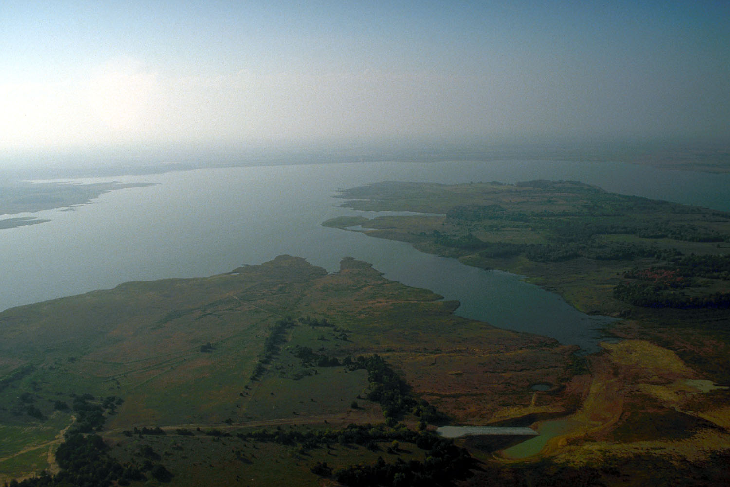
Feature photograph: Aerial view of Ray Roberts Lake, Texas; archival photograph, not a current access or water-level report. Photo: U.S. Army Corps of Engineers, photographer not specified or unknown. Source; Public domain. No editorial alterations.
