
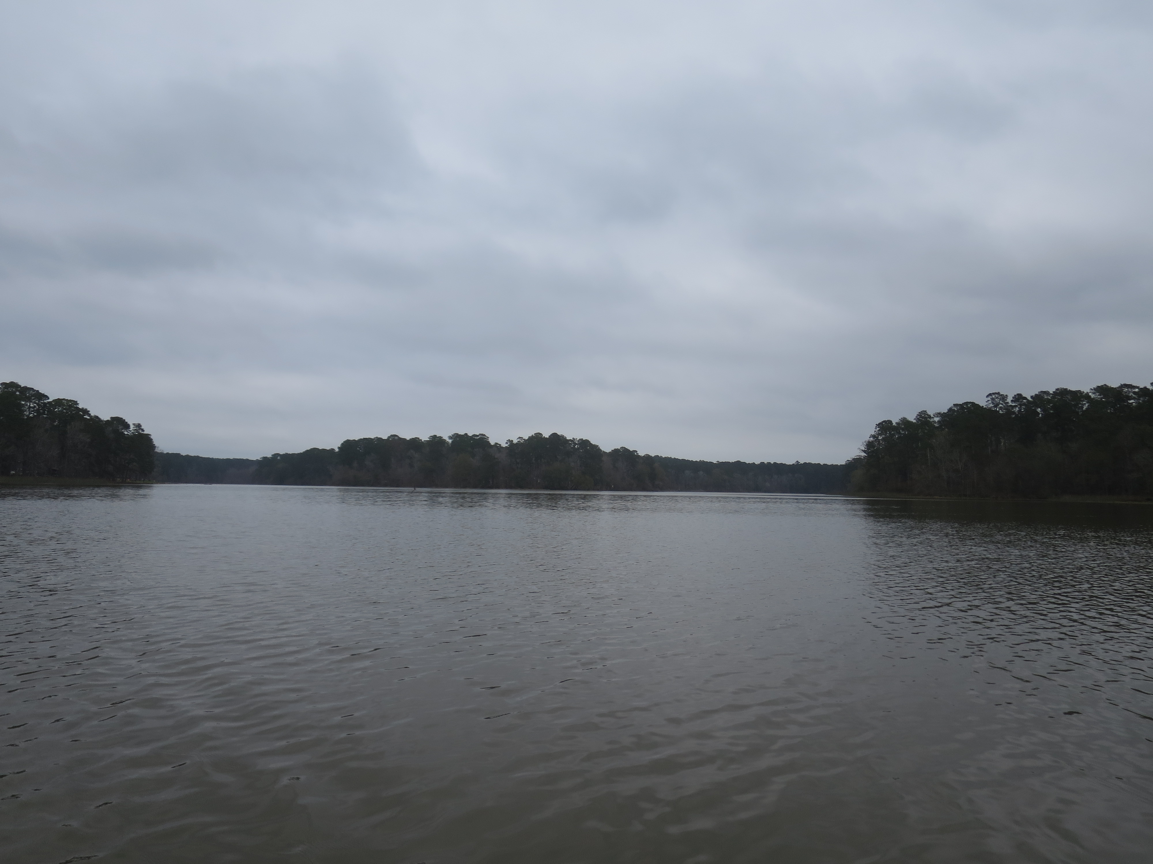
East Texas water is not one kind of view. At one park, a lake opens beyond the trees. At another, a creek carries the landscape forward around a bend. Farther east, the edges of rivers, sloughs and reservoir water create a different set of places to stop and look. Choosing the setting first can make a short outing feel more purposeful.
Huntsville, Village Creek and Martin Dies, Jr. state parks give you three distinct starting points. They are alternatives for separate visits, not a suggested single-day circuit. The useful comparison is what you want to spend time beside: a forest lake, a free-flowing creek or a meeting of waterways and wooded edges.
Start with the East Texas hub and our trail tool, then check the selected park’s official page. All three pages display active-alert notices as checked November 8. Read the current notices and map before leaving; this article does not certify that a particular trail, rental or water-access point is open today.
| Park choice | Focus for a land visit |
|---|---|
| Huntsville | Forest lake setting at Lake Raven |
| Village Creek | Creek and Big Thicket edge |
| Martin Dies, Jr. | Connections among wooded water margins |
Huntsville: give Lake Raven the center of the plan
The Huntsville State Park page identifies 210-acre Lake Raven as the setting for its water activities, surrounded by the Pineywoods. For a visit focused on land, choose a permitted lakeside location and a manageable walking route rather than assuming the day needs a full circuit. The water can be the destination.
A forest-lake visit rewards a slow start. Look at how the shore changes between open and shaded sections, where people can comfortably stop and which route brings the group back to its actual parking area. Use the current official map for that choice. A broad view from one location does not show the difficulty of every trail nearby.
Give children a simple observation task: notice where the water becomes visible through the trees and where the forest hides it again. That creates a reason to look closely without collecting anything or leaving the trail. Adults can follow the same question. A familiar landscape becomes more interesting when you pay attention to its edges.
For anyone who wants to fish or paddle, make that a separate part of the plan with its own equipment, access and current operating checks. The park describes several water activities, but availability and suitability depend on conditions. Do not assume a rental is available because a general description mentions one. Ask the park about the specific service you need.
Village Creek: watch the water move through the place
Village Creek State Park, north of Beaumont, sits along a free-flowing creek at the edge of the Big Thicket. That gives a visitor a different question from the lake: where does the visible water lead, and how does the surrounding ground change as you move through the park?
The current park map and notices should guide the walking choice. Creekside landscapes can have conditions that differ from a dry-looking entrance area. Check the route before treating a shoreline photograph as evidence of easy access. A short permitted walk that fits the group is a better plan than an assumed connection that turns out to be closed or unsuitable.
Spend a few minutes observing from one appropriate place. Notice the surface movement, reflections and vegetation along the edge without approaching wildlife or entering a risky location for a better angle. The park’s setting offers more than a backdrop for a picture. It gives you a chance to see how water and forest occupy the same space.
If paddling is the reason for the visit, consult the park and the current paddling-trail information about conditions, access and equipment. A creek outing is not simply a lake outing with a narrower view. Plan the route, return and responsibilities with the actual waterway in mind, and use the relevant safety guidance before launching.
Martin Dies, Jr.: the interest is in the connections
At Martin Dies, Jr. State Park, the official description brings together the Neches and Angelina rivers, B.A. Steinhagen Reservoir, sloughs and forest. That variety makes choosing a specific unit and starting point especially important. The park’s name alone is not enough detail for a meeting location.
Read the map before selecting the activity. A group hoping for a short land-based visit needs a different route from paddlers planning a larger water outing. Pick one feature to understand and one place where the group can comfortably pause. Leave the rest of the park for another visit rather than treating the number of possible activities as a checklist.
The wooded water margins can reward patient observation. Look for changes in shape, texture and movement rather than promising yourself a particular animal sighting. Wildlife is not an appointment. A visit can succeed because you noticed a habitat change or watched a quiet stretch of water carefully, even when the animal you hoped to see never appears.
Keep the park’s own guidance close at hand. Read access notices, weather information and any instructions associated with the trail or launch you choose. The broad setting is stable enough to compare with other parks; the day’s conditions are not. A useful plan distinguishes those two kinds of information.
Choose by the people coming with you
Ask what the group wants from the visit before comparing driving distances. A quiet picnic with a short walk, a photography outing and a paddle each require a different level of preparation. Selecting the park that fits the actual purpose is more useful than declaring one of these places the best in East Texas.
For access needs, ask a specific question about the intended route, surface and facilities. A park offering an accommodation in one area does not establish that every shoreline location is suitable. Staff can help you identify an appropriate option or explain the limits. That conversation should happen before the drive when possible.
Pack for the selected activity and the forecast, then keep the plan simple enough to adjust. Food, drinking water, suitable clothing and the relevant map belong to the outing even when it is short. Tell someone your intended location and return plan if appropriate, especially when the day extends beyond a familiar developed area.
Bring home something more useful than a rating
Afterward, note which part of the setting made the visit work. Was it the open lake view, the creek’s movement or the variety of wooded water edges? Record the actual starting point and how the route felt to your group. Those details help you choose the next park more accurately than a generic declaration that the afternoon was nice.
For a group arriving in separate cars, send the exact parking location rather than only the park name. Include the date, planned meeting time and the official page used to check access. If one person intends to fish while others walk, agree on a reunion place before anyone separates. A large setting can make a vague instruction such as back by the water surprisingly difficult to follow. A clear shared plan protects the relaxed part of the afternoon from a preventable search for the rest of the group.
You can return to the same place with a new question. At the lake, compare a different permitted viewpoint. At the creek, notice how the setting looks after a change in season. At Martin Dies, Jr., explore another appropriate unit after checking its current information. Repetition can add depth without requiring another long list of destinations.
East Texas offers enough water and forest to make variety possible within a familiar kind of outing. Choose one park, verify the current access and give the setting some time. The result can be a good afternoon on its own, with a clearer reason to choose another shoreline the next time you head outside.
Feature photograph: Lake Raven at Huntsville State Park, Texas; archival photograph, not current water or weather conditions. Photo: Urban Versis 32. Source; CC BY-SA 4.0. No editorial alterations.
