
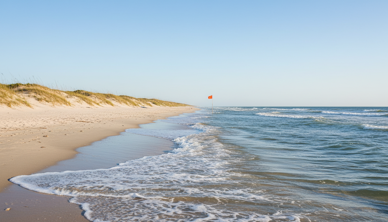
Before you load the beach wagon, answer three different questions: Is the surf safe? What does the latest water-quality sample say? And is this the right beach for the activity you want? A pretty Gulf Coast forecast can’t answer all three.
The wrong question is ‘does the water look pretty?’
A Texas Gulf Coast beach can look inviting from a parking area while the water is unsuitable for swimming. The sky may be blue, the sand warm and the water a pleasant shade of green, yet a rip-current warning or bacteria advisory can change what a responsible family should do. A beach day is not a single yes-or-no condition. It is a set of separate judgments about weather, surf, water quality, access and the activity you actually plan.
This matters even more when you’re driving from inland. A family traveling two hours deserves to know whether the outing will be a swimming day, a walking day, a fishing day or a reason to change plans. Thunderfoot’s Gulf Coast Beach Conditions tool can organize useful signals, but it should never be confused with permission to enter hazardous surf.
Start with the National Weather Service
The National Weather Service publishes beach and surf information, including rip-current risk where forecasts are available. Check the specific coastal area you intend to visit, not simply the temperature forecast for the nearest large city. Wind direction, swell and surf conditions can be very different from what you’ll experience while shopping for lunch inland.
A sunny forecast does not automatically mean safe swimming. The weather service explicitly warns that rip currents can occur on calm-looking sunny days. If an active high-risk warning affects the beach, obey it. Choose a guarded location and consult lifeguards. If safe entry is not possible, make the shoreline walk or another land activity the centerpiece.
Rip currents don’t pull you underwater
A rip current is a channel of water moving away from shore through the surf zone. It can carry a swimmer into deeper water, and the danger often comes from panic and exhaustion while trying to fight the flow directly. It is not a whirlpool that automatically drags someone to the bottom. Understanding that difference is useful because it changes how a person responds.
NOAA’s guidance is to remain calm, avoid fighting the current straight toward the beach, and swim parallel to shore to escape the narrow flow before returning at an angle. If you cannot reach safety, float or tread water and signal for help. These instructions are emergency guidance, not a reason to take chances. Prevention—swimming near a lifeguard and respecting warnings—is far better.
Never treat the flags as decoration
Where a beach patrol uses hazard flags, learn what the locally posted colors and signs mean. Flags can communicate dangerous surf, currents or other conditions. Different jurisdictions may post information differently, so don’t rely on a half-remembered social-media graphic instead of the signs and lifeguards at the specific beach.
Before setting up chairs, identify the nearest guarded swimming area and ask a lifeguard about today’s conditions. If nobody is on duty, reconsider whether swimming is appropriate, especially with children or inexperienced swimmers. A child’s safety should never depend on one adult being confident in their swimming ability.
Water quality is a separate question
Texas Beach Watch, operated by the Texas General Land Office, reports water quality at selected recreational beaches. It focuses on bacteria sampling and related advisories. That is different from surf safety. A beach might have acceptable recent bacteria results yet still be dangerous because of a rip current. Another might have gentle surf while current water-quality notices advise against swimming.
Use the official Texas Beach Watch map to check the monitoring site closest to your intended access point. Notice the sampling date. Monitoring does not provide a continuous laboratory measurement of every stretch of coastline, and circumstances can change after rainfall or other events. Read advisory wording rather than reducing the result to a simple green-or-red score.
Why the sample date matters
The Texas General Land Office explains that beach water testing schedules vary by season, with less frequent sampling outside peak months. That means a result displayed on a Tuesday may reflect water tested earlier. It offers useful information, but not a promise that conditions are unchanged at the exact hour you walk onto the sand.
If there has been heavy rain, drainage activity or an unusual advisory since the sample was collected, treat the uncertainty seriously. Ask local authorities or the beach patrol about conditions. Do not turn a stale good result into a guarantee. A responsible trip-planning tool should show when its underlying data was last updated.
What about water color and algae?
Water color can tell you something about suspended sediment, light and recent conditions, but it isn’t a reliable substitute for laboratory testing or hazard notices. Texas beaches naturally change color. A brownish appearance does not prove a dangerous bacteria level, and clearer water doesn’t automatically mean it is safe.
Visible unusual blooms, scum, dead fish or warning signs deserve attention. Keep children and pets away from suspicious water and follow official notices. Don’t assume you can identify harmful algae or other contaminants by sight alone. Photography is a useful way to describe what you see, but it cannot replace expert identification.
The fishing and shelling visitor needs a different forecast
People who come to fish, photograph birds, walk the shoreline or hunt for shells should still check weather and local warnings, but their ideal conditions differ from those of swimmers. Wind can affect casting and comfort. A high tide can reduce accessible walking space. Storms can make jetties, piers and low-lying access hazardous even when you don’t plan to swim.
Create a plan around the activity, then pick the beach. If you’re walking with a stroller or someone with limited mobility, beach access and firm surfaces may matter more than an advertised water score. If you’re fishing from a jetty, wave action and slippery rocks are critical concerns. Never approach dangerous structures simply to improve a photo.
A simple three-check system
Before departing: check the National Weather Service’s coastal forecast and rip risk; review Texas Beach Watch for water-quality advisories and sample dates; then consult the local beach patrol or managing authority for flags, closures and access. Those checks answer different questions and should not be collapsed into one vague statement that the beach is ‘good.’
On arrival, repeat the most immediate safety check. Look at the posted flags and listen to lifeguards. Conditions can change during a day. The family who checks once from home and then ignores a red flag at the shoreline has missed the most important part of planning.
Kids, gear and honest expectations
A child may hear ‘beach day’ and imagine swimming the entire afternoon. Explain beforehand that swimming depends on current conditions. Pack beach games, snacks, a shade option and a way to enjoy the sand without entering the water. This can prevent disappointment from turning into a dangerous argument about whether the waves really look that bad.
Water safety requires active supervision. Keep small children close, and don’t rely on flotation toys in surf. Know the limits of your group. If an adult is tired or distracted, it’s time to leave the water. A short safe outing is a success; a long one undertaken to justify a drive is not.
The reason to keep coming back
The Texas Gulf Coast changes with season, weather and tides. One visit might be ideal for a morning beach walk, another for birdwatching and a third for swimming when conditions allow. The region is more rewarding when you stop imagining that every beach must deliver the same experience every day.
Use Thunderfoot’s Gulf Coast Beach Conditions planner to compare places, but verify official live warnings before you decide. That combination—helpful discovery and responsible confirmation—is what makes a better beach day than an attractive photograph ever could.
Check the source
Review National Weather Service rip-current safety, the Texas Beach Watch map and Thunderfoot’s Gulf Coast Beach Conditions planner. Follow beach patrols and local authorities at the water.